Geography
Curriculum Statement
Geography is a subject of great fascination to children. At All Saints’ School, we stimulate the children’s interest in providing them with a variety of experiences.
The school is situated in grounds which have been developed to provide a variety of habitats. All children are given the opportunity to explore the environment close to school, which is rich in interest. We study local areas/issues and extend these studies into the wider world. Pupils are given the opportunity to develop their knowledge of people and places to understand the physical, social and economic forces which shape those places and the lifestyles of the people who live there.
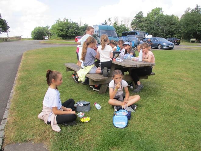
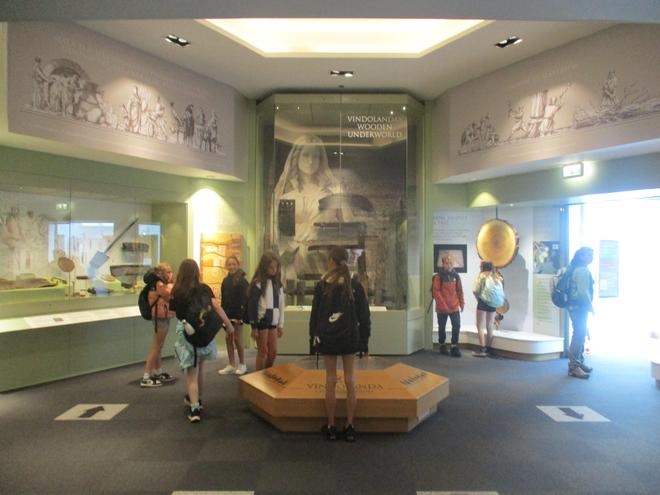
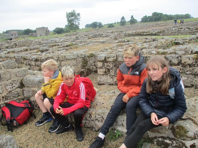
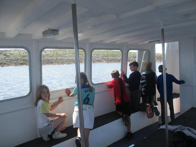
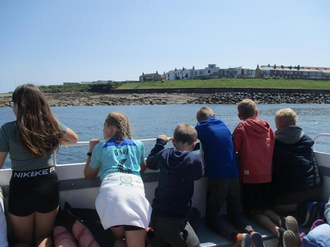
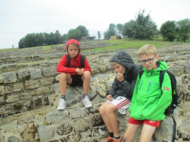
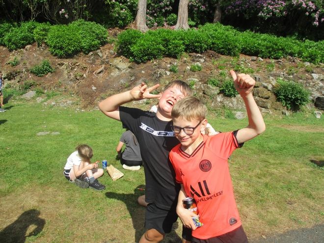
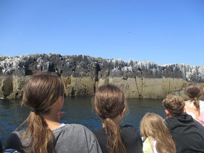
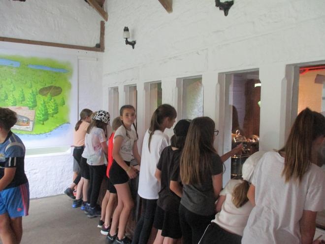
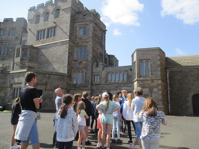
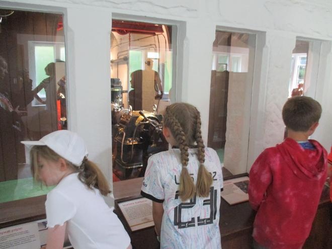
All classes go on visits to a variety of settings including farms, forests, National Trust lands and areas of geographical interest. From Year 2 onwards, the children are encouraged to go on annual residential trips where they experience unfamiliar environments. These trips include destinations as far afield as Grasmere, Northumberland and Glasgow. We also study other countries using a range of resources, the children learn to use maps to locate cities, countries, mountain ranges, rivers, seas and oceans. They use atlases, photos and the internet to explore the environment and economics of those countries which they study. They then use the skills they have developed in literacy, numeracy and computing to report and record their findings.
Curriculum Planning
Ever wondered why Geography matters…?
Please watch the link below to find out
https://www.youtube.com/watch?v=B8WHKRzkCOY
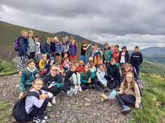
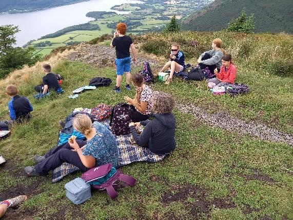
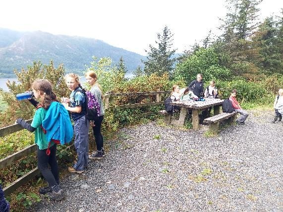
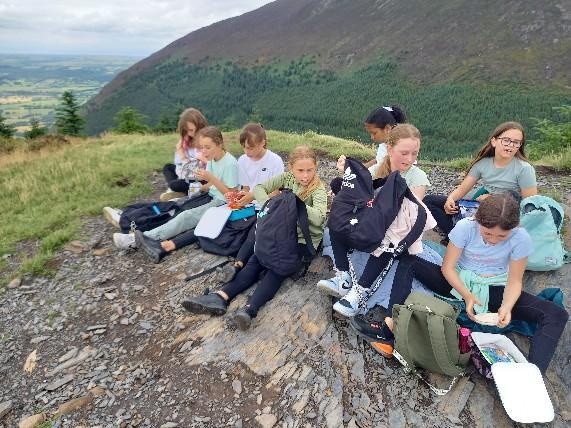
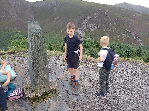
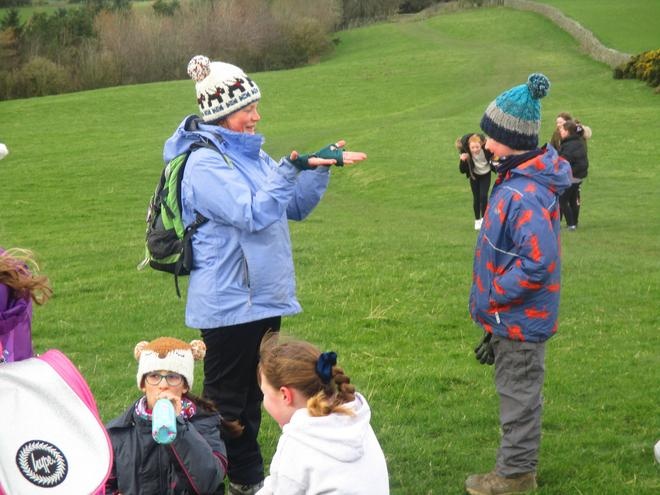
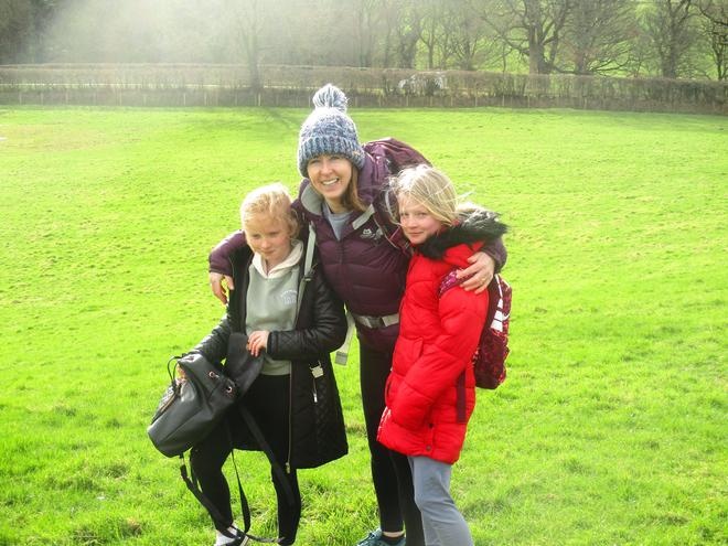
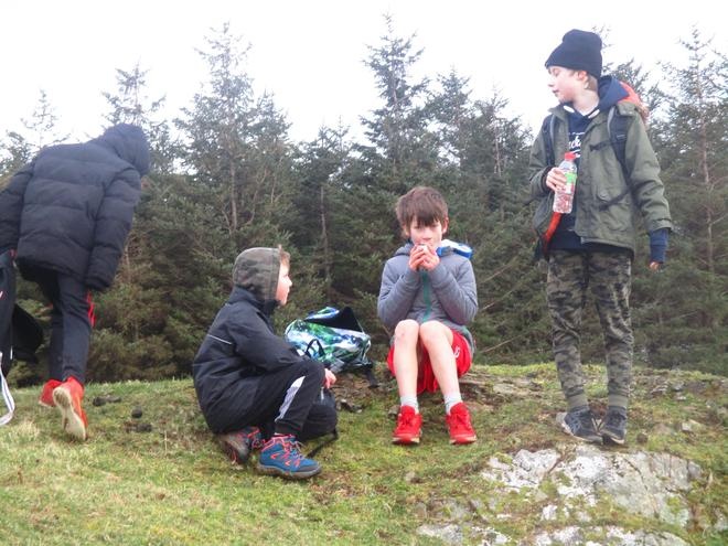
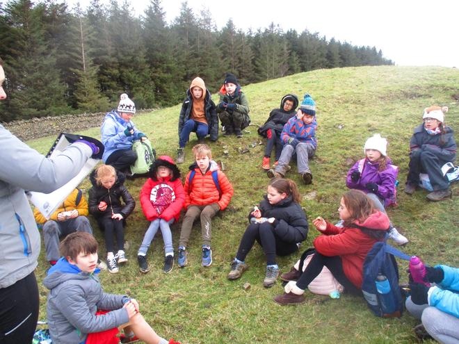
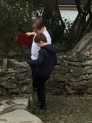
Dodd Wood walk
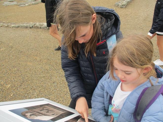
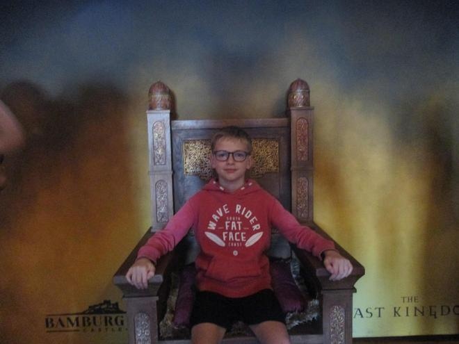
Year 5 residential
Hay Walk
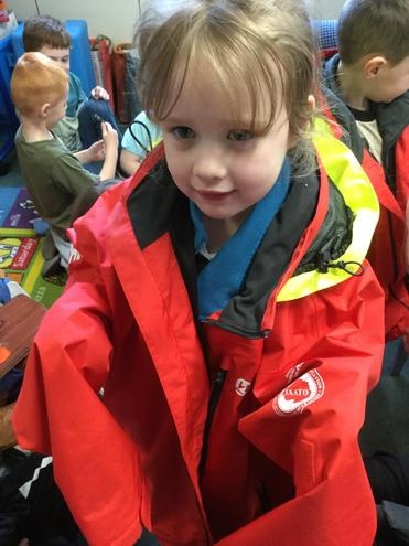
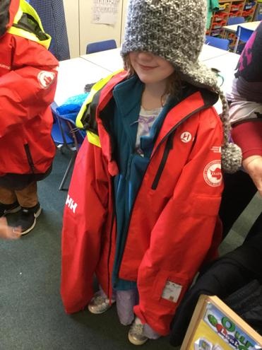
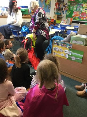
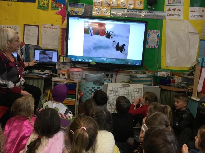
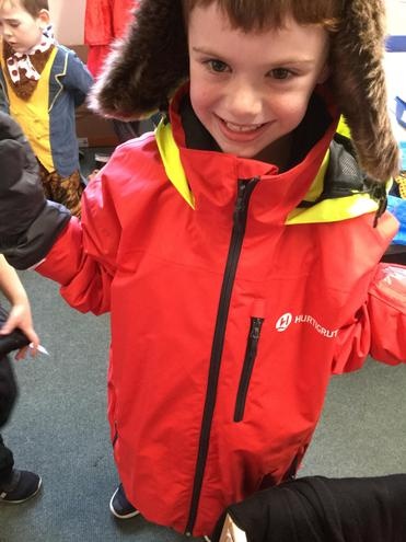
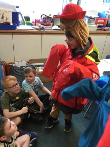
Year One learnt all about Antarctica
Mrs Pritchard had been on a cruise to the continent Peninsula. She told us all about her adventure. We learnt about the wildlife and climate. We tried on her special clothes that she had to wear to keep warm. It was lot's of fun! Thank you, Mrs Pritchard.
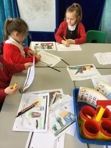
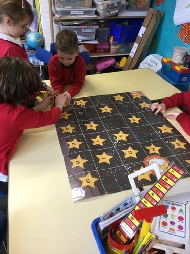
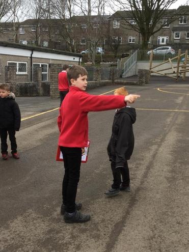
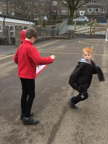
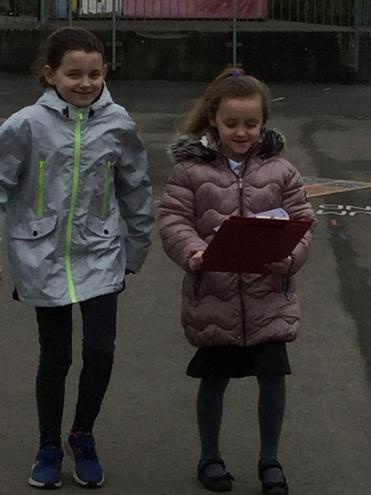
Year One enjoyed reading maps, making maps and following maps on whole school mapping day
Year 5 created their own map, then using coordinates they helped Year 1 find features around the school grounds. Orienteering and mapping fun!
To support the Teaching and Learning of Geography at All Saints’ C of E School we use:
- Digimaps: https://digimap.edina.ac.uk/
Digimaps for school is an awatd winning mapping service for use by teachers and pupils. Teachers and pupils can customise maps to tell a story- adding pictures, graphs or climate information to support creative, engaging and interactive teaching and learning. Digimaps in our school is used to support the teaching and learning in Geography and History.
